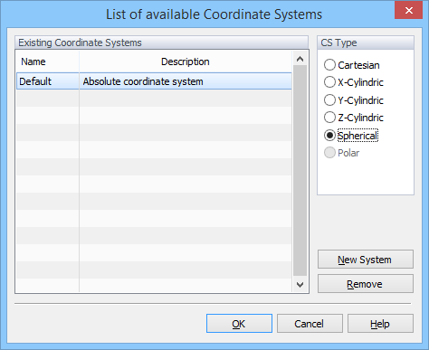
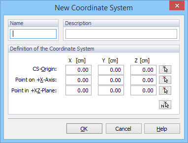
Selects the Coordinate System. The Coordinate System to be used for the transport domain can be selected from the List of Available Coordinate Systems dialog window called with the Tools->Coordinate System command. Cartesian, Cylindrical, and Spherical systems are available. The Cartesian coordinate system is selected by default. A New Coordinate System can be defined using the dialog window of the same name.
Return to Tools Menu.